Just what I wanted. Prompt delivery. I’m happy
Delivered in good time (2 weeks from manufacturers). Clean wood nice pole
I had them in quick time and easy to fit
West London Boat Service & Repair
Servicing
|
Boat Sales
|
Parts
|
Chandlery
01932 247 427
Imray
Ref: KHINL0360
Couldn't load pickup availability
Next day delivery may be possible for this item: please call 01932 247 427.
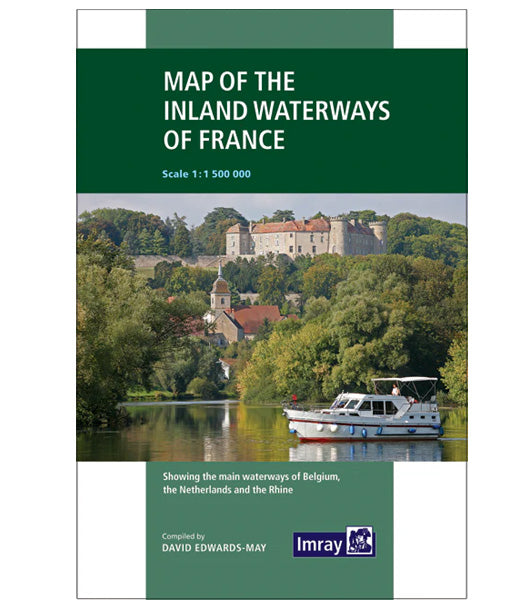
Showing the main waterways of Belgium, the Netherlands and the Rhine
Scale 1: 1 500 000
Stock code: IM0006-1
Author: Imray
Publication details: 19, Folded paper map
Edition: 3rd
Edition date: 2019
ISBN: 9781786790644
Imray is the leading publisher of nautical information for leisure sailors.