Just what I wanted. Prompt delivery. I’m happy
Delivered in good time (2 weeks from manufacturers). Clean wood nice pole
I had them in quick time and easy to fit
West London Boat Service & Repair
Servicing
|
Boat Sales
|
Parts
|
Chandlery
01932 247 427
Navionics
Ref: NVL010-C1346-30/UKP
Couldn't load pickup availability
Next day delivery may be possible for this item: please call 01932 247 427.
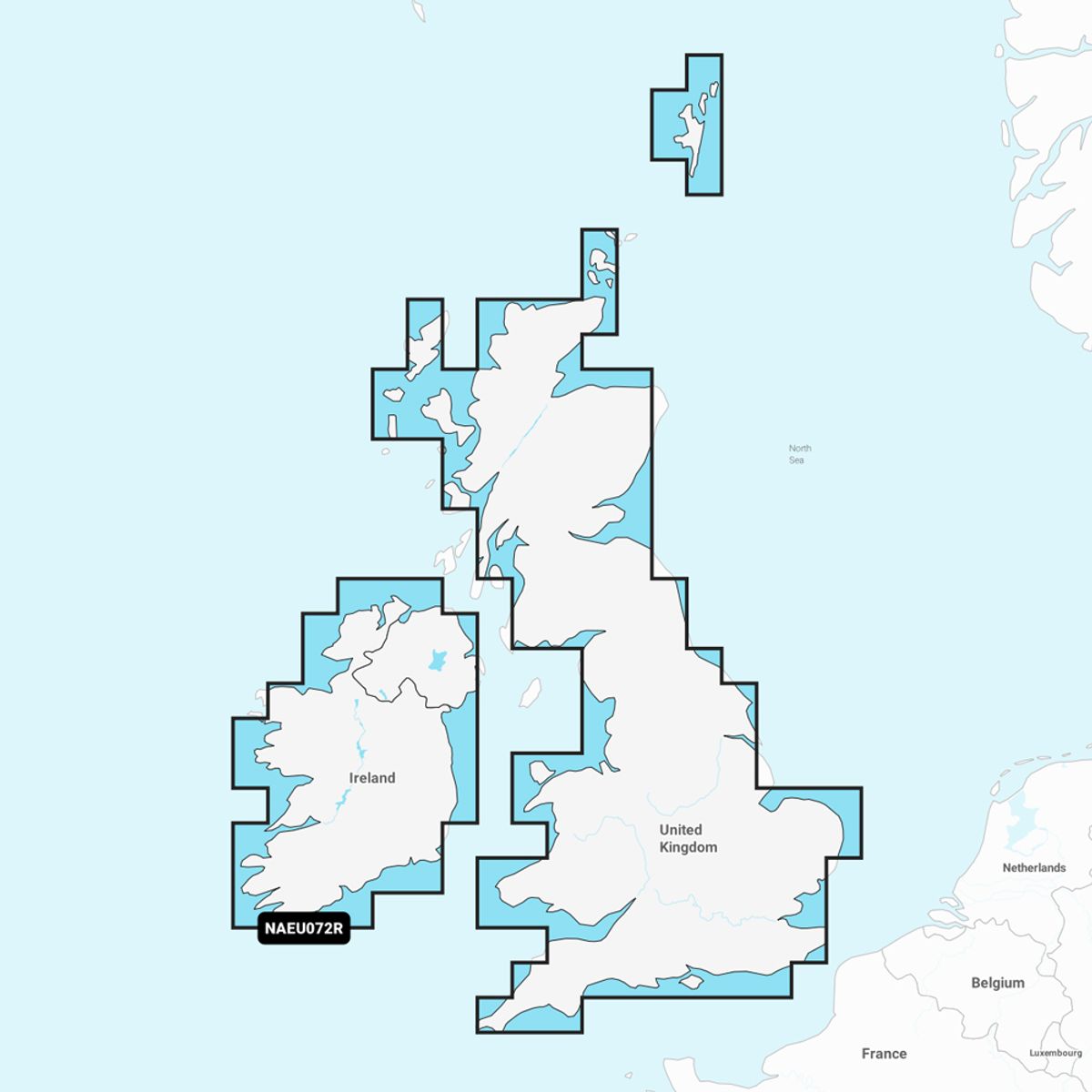
SD / MSD card with detailed coverage of major lakes and rivers of the UK and Ireland. Easily installed on devices compatible with Navionics.
Coverage includes the Thames, Medway, Mersey, Avon and Tweed Rivers in the UK and the Shannon River in Ireland. Lake coverage includes Lock Ness, Loch Lochy and Lough Neagh in the UK.
View compatibility guide.
Please enter details of your chartplotter in the delivery instructions box (at the checkout stage).
Features:
Chart Code: NAEU072R
Product code: 010-C1346-30
Manufacturer SKU: 010-C1346-30
Navionics+ cartography provides integrated offshore and inland marine mapping content with rivers, bays and more than 42,000 lakes around the world. This all-in-one solution offers clear, reliable cartography for the widest range of chartplotter brands.