I had them in quick time and easy to fit
Great product for use on a rusty Campervan, really does kill the rust and puts a varnish like coating on the surface to seal it.
West London Boat Service & Repair
Servicing
|
Boat Sales
|
Parts
|
Chandlery
01932 247 427
Garmin
Ref: LLMSCoastBundle
Couldn't load pickup availability
Next day delivery may be possible for this item: please call 01932 247 427.
Garmin GPSMAP 79s handheld marine GPS with worldwide basemap PLUS unparalleled coastal chart coverage featuring integrated Garmin and Navionics® data
Bundle exclusive to Lindon Lewis Marine.
Handheld:
It's water-resistant, it floats, and it's fogproof, so it belongs on the water, just like you.
This device can remember up to 10,000 waypoints and more, so you don't have to.
Reliable positioning when you're out on the water.
The built-in compass will point you in the right direction.
Stay out longer with up to 19 hours of battery life in GPS mode.
Equally at home on land.
Get the best of Garmin and Navionics® data with BlueChart g3 charts:
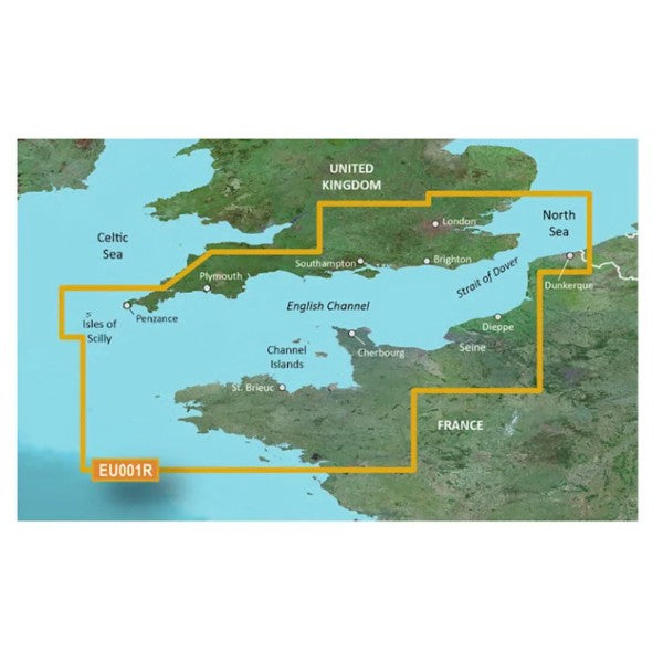
HXEU001R - microSD™/SD™ card
Provides industry-leading coverage, clarity and detail with updated coastal charts that feature integrated Garmin and Navionics® data
Auto Guidance1 technology calculates a route using your desired depth and overhead clearance and provides a suggested path to follow
Includes Depth Range Shading for up to 10 depth ranges, enabling you to view your target depth at a glance
Up to 1-foot contours provide a more accurate depiction of the bottom structure for improved fishing charts and navigation in swamps, canals and marinas.
BlueChart g3 coastal charts provide industry-leading coverage, clarity and detail with integrated Garmin and Navionics data. Also included is Auto Guidance1 technology, which uses your desired depth and overhead clearance to calculate routes and provide a suggested path to follow, overlaid onto your chart. NOAA raster cartography is also available as a free downloadable feature via the ActiveCaptain app. It gives your chartplotter paper chartlike views of NOAA-surveyed areas in which individual points of interest are labelled with corresponding longitude and latitude information. Worldwide coverage is available by regions as accessory cards or via download; each region is sold separately.
Auto Guidance technology
The Auto Guidance feature calculates a suggested route using your desired depth and overhead clearance.
Depth Range Shading
This feature displays high-resolution Depth Range Shading for up to 10 depth ranges, so you can view your designated target depth.
Detailed Contours
BlueChart g3 charts feature 1-foot contours that provide a more accurate depiction of bottom structure for improved fishing charts and enhanced detail in swamps, canals and port plans.
Shallow Water Shading
To aid in navigation, Shallow Water Shading allows map shading at a user-defined depth to give a clear picture of shallow waters to avoid.
Auto Guidance is for planning purposes only and does not replace safe navigation operations. Auto Guidance is not included in preloaded BlueChart g3 for ECHOMAP™ Plus series chartplotters